Tuesday, 21 June 2016

Ullock Pike, Long Side, Carl Side, (Skiddaw) Bakestall


Grisedale Pike, yesterday's way up
A fantastic walk, a great improvement on the tourist route up Skiddaw from Latrigg. We parked on the Orthwaite road a few hundred yards from the A591. We had decided to start the walk form that point rather than starting with the walk in from Peter House Farm. We would probably regret this at the end of the walk.
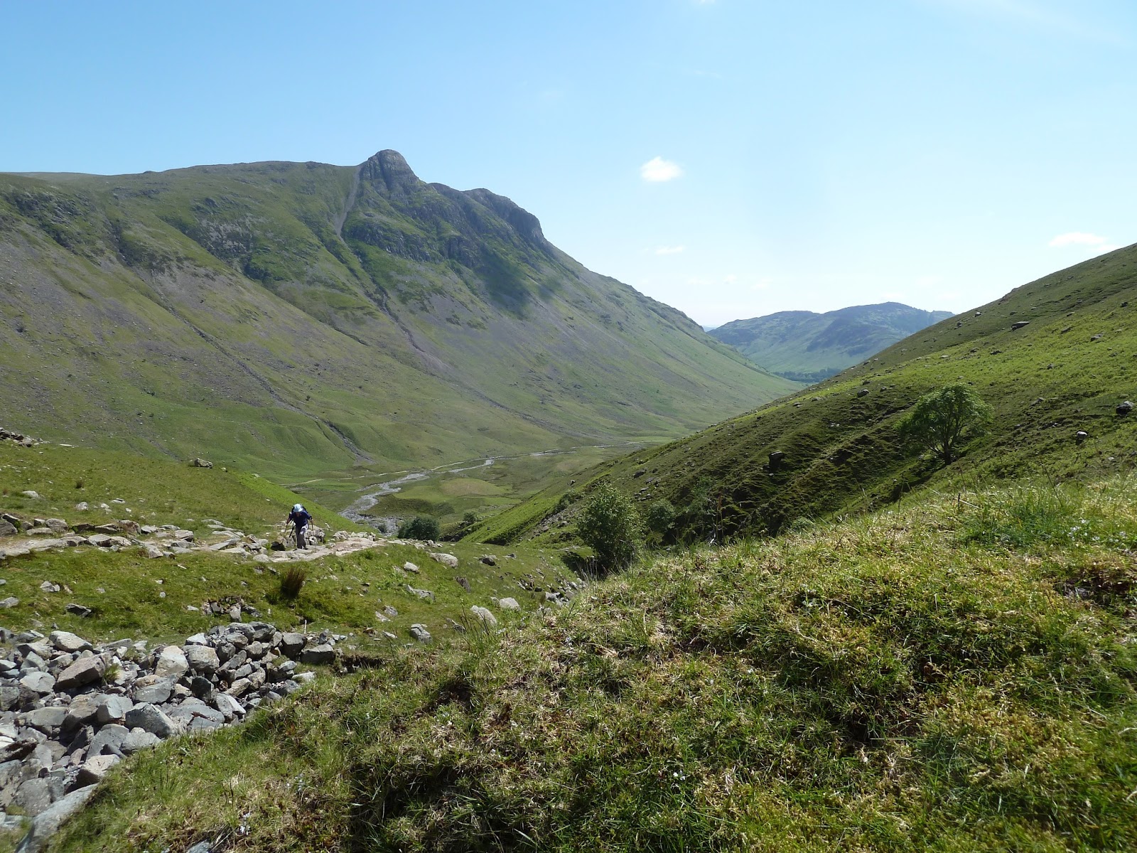
Route find was no problem taking the path just under Watches on to Ling Howe, The Edge and then Ullock Pike. Yesterdays route up Grisedal pike was clearly cisible across the valley. From Ullock Pike the ridge ahead was clearly visible over to Long Side and then up to Carl Side. Amazingly three moutainbikers were coming along the ridge the other way and then head off down where we had just ascended.
Our main concern for the day was the route from Carl Side to Skiddaw. The path up the Skiddaw slate was always in view from the ridge.At a distance it looked steepish but as we got closer it appeared steeper and steeper looking almost vertical.
A deep breath at Carlside tarn and we started ascending. The steep section was steep,as we expected, but not vertical, and manageable. Would have been difficult in wet weather. Elspeth felt she had to keep moving constantly in case she slipped back if she stopped.
The difficult bit was soon over and we were on the broad Skiddaw summit for a deserved lunch.
View from Skiddaw looking over Long Side
The way off saw us leaving the numerous people on top who had ascended the tourist route and were heading to descend the same way.  A nice gentle descent taking care to to head for Broad End, on to Bakestall and then a steepish pat down Birkett Edge to the Cumbrian Way. Although we were tired the walk back along the road to the car was not too bad with very little traffic.


Time 7hrs

Memories

  • Superb round walk
  • Steep ascent up to Skiddaw
  • Mountain bikers on Ullock Pike
  • Completed Northern Fells
Grade Excellent


Completed 168  To go 46

Monday, 20 June 2016

Grisedale Pike

Views ascending
Our previous ascent of Gisedale Pike had been from Bassenthwaite with memories of the steep scree section before the summit. This walk we drove up to the car park in Whinlatter forest at Revlin Moss. The notice board at the car park directed us on the correct forest road towards Grisedale Pike and then out of the forest to climb the north east ridge directly up to the summit. The walk was steep in places but never difficult and a great improvement on the path up Sleet How. The top was reached in good weather with good views over the previously climbed Hopegill Head and the yet to climb Crag Hill and Grasmoor. For a different way down we decided to descend to Hobcarton End and follow the path back down to the forest. Just before entering the forest we came upon a sign saying no entry path closed due to forestry works! We could see and hear the machinery at the top of Sanderson Gill, way away from our proposed route. We had no intention of climbing back up again so continued into the forest. It was true the path became non existent but there were huge machinery tracks heading down in the general direction we wanted to go, so we followed one of these down to the forest track and eventually back to the car. (Passing a sign pointing the other way saying No Entry!)
The way down


Time 4 Hrs

Memories
  • Rough descent through forestry work
  • Clear day with great views
Grade Excellent

Completed 164   To go 50

Tuesday, 14 June 2016

Grike, Crag Fell, Lank Rigg

What a difference in the weather. Yesterday pouring down, today beautiful sunshine. We parked at Scaly Moss and followed the easy forest track north of Blakekey through cleared forest and up to a style in the fence with the path clearly leading up to our first summit Grike. Next on the agenda was Crag fell, again an easy walk down passing the weather station mast and up on to summit.
the views of the Ennerdale fells were fantastic and as the weather was so good we decided to continue the walk heading back down to the now felled wood and up on to Woap, initially following the wall heading for Caw but soon heading south to find the path marked on the map. 
It was a simple descent and ascent on to our final summit Lank Rigg, the wind beginning to increase but the views over the west coast were magnificent.
It was quite long walk back down along Woap Beck with a helicopter hovering for some time over Crag Fell.  Then a slight climb over the col, now south of Blakeley, and back to along the road to the car.


Time  5hrs

Memories

  • Gorgeous Day (in contrast to previous day)
  • Fantastic clear views of Ennerdale and valley
  • Long walk but to difficulties
Grade Excellent

Completed 163  To go 51

Monday, 13 June 2016

Burnbank, Blake Fell, Gavel Fell


The forecast was wet for all day which turned out to be very accurate. Parking at Maggies Bridge we followed the path to the lake and on entering Holme Wood  took the path heading left up through the wood climbing towards Holme Beck. On reaching the open fell a good path skirted Burnbank fell to a wall and style. This was where we left the path and headed up the fellside parallel but some way from the wall on our right following a clear path unmarked on the map. One the climbing was over it was an easy walk  along the broad  top to the summit, marked only by a fence corner.
The rain persisted, the ground boggy but always firm underfoot.
The rout now was simple, follow the fence south initially down then up on to Blake Fell and the continue following the fence on to Gavel Fell. However coming off Blake Fell we failed to realise the fence forked and we continued down the main path, now following the wrong fence, thankfully only for a few hundred metres before we realised out mistake. A quick retrace of our step s back to a style which we crossed and then continued onto Gavel Fell.
Still very misty at wet we elected to follow yet another fence down towards Whiteoak beck and then followed the main path back tot he car. Still very wet!

Time 4hrs 30mns

Memories
  • Very wet day
  • Fence to follow between each top
  • Slight navigation error

Grade Excellent

Completed 160   To go  54

Friday, 3 June 2016

Rossett Pike, Esk Pike, Bowfell

The Scafells
The hottest walking day we have had for a while so carrying lots of water. We managed to get a parking spot at the NT car park at the Old Dungeon Ghyll hotel. The longish walk along Mickleden Beck too us to the foot of Rossett Ghyll and, the now excellent path climbed up the ghyll towards Angle Tarn. A short diversion from the main path took us up to our first summit of the day, Rossett Pike.  The day was hot and we knew that this would be quite a long slow walk, however the sky was clear and the views excelent. Next, a short descent sown to Angle tarn the the climb up to Esk Hause. Here most of our companion walkers headed up towards Scafell Pike but we turned left for the steepish climb up to Esk Pike. We were quite tired by now in the heat but Bowfell didn't look like too much of a challenge so we dismissed any ideas of going down from Ore Gap and completed the planned route up Bowfell and the down The Band back to the car.
Climbing Bowfell Esl Pike in Background
Descending the Band, Elspeth slipped and badly sprained her wrist. It was a good path but she slipped on the dry loose stones, this having had negotiated the rocky sections on Esk Pike and Bowfell without any problem. After 20mns or so rest we carried on down very slowly and were glad to reach the car, the Old Dungeion Ghyll beer garden, heaving with wlakers and climbers.

Time 9 hrs

Memories

  • Hot Day
  • Long walk
  • Easy to slip even on good paths

Grade Excellent

Completed 157  To go  57